Will Tropical Storm Debby impact Myrtle Beach, SC area traffic? Here’s how to stay updated
READ MORE
Tropical Storm Debby
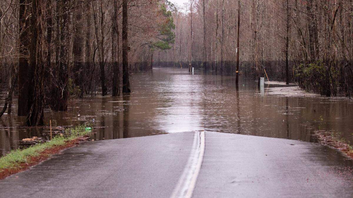
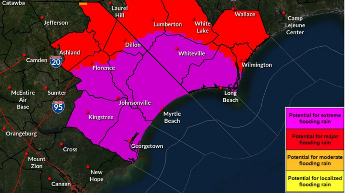
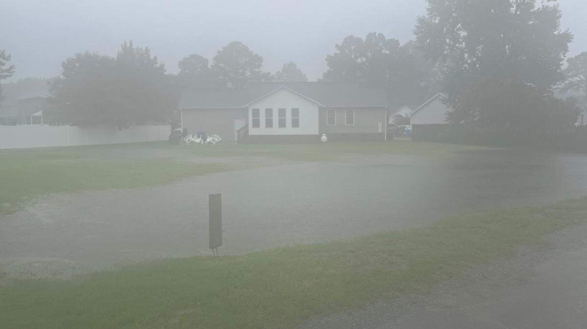
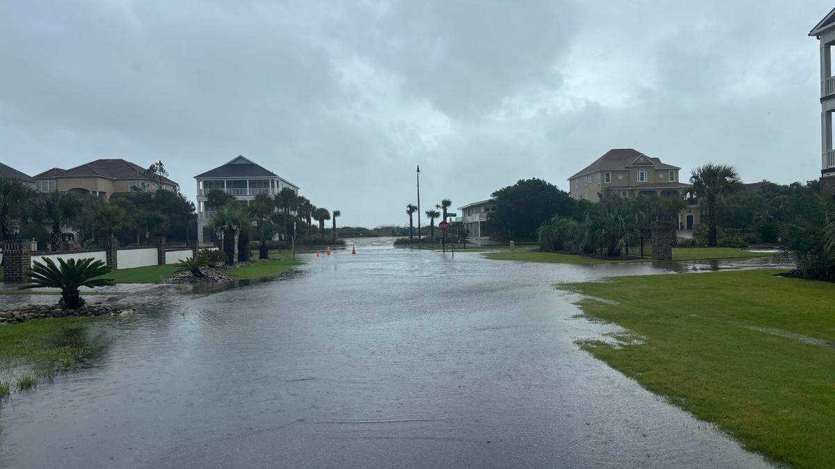
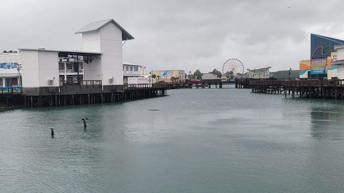
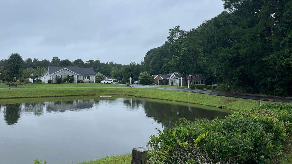
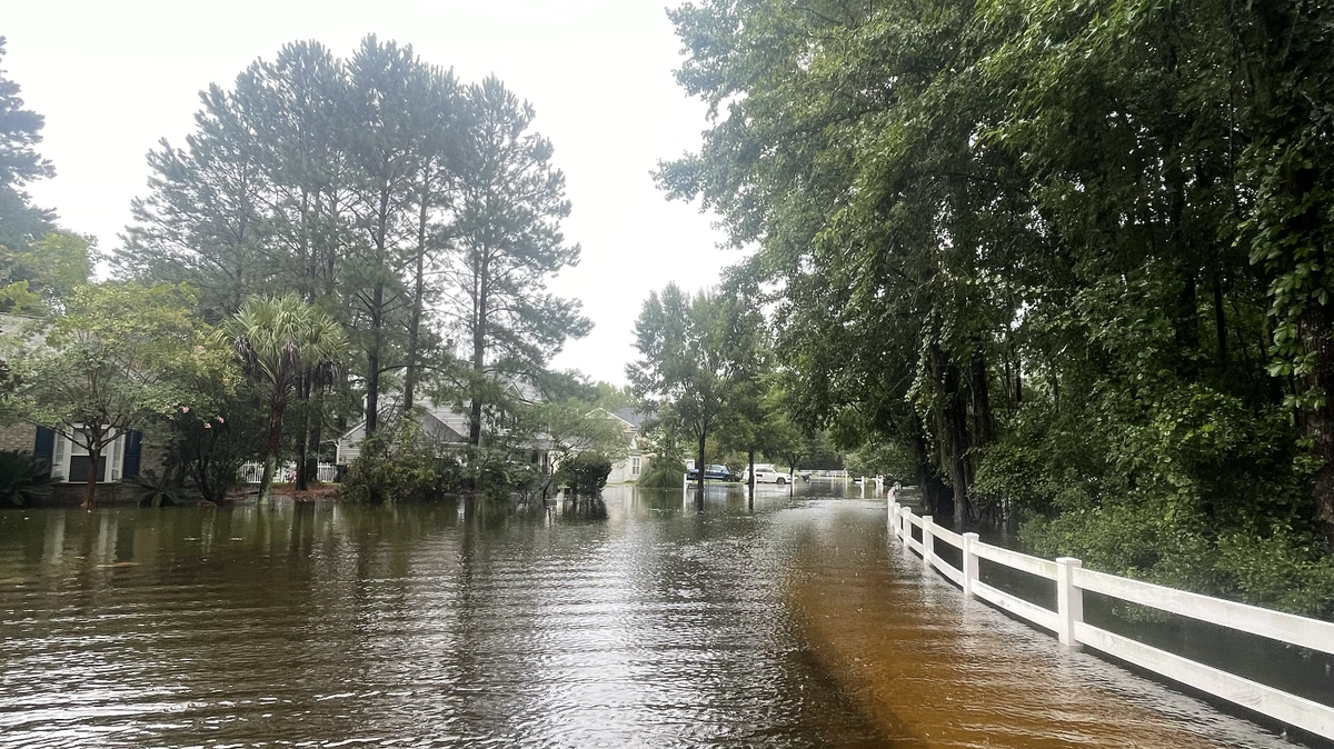
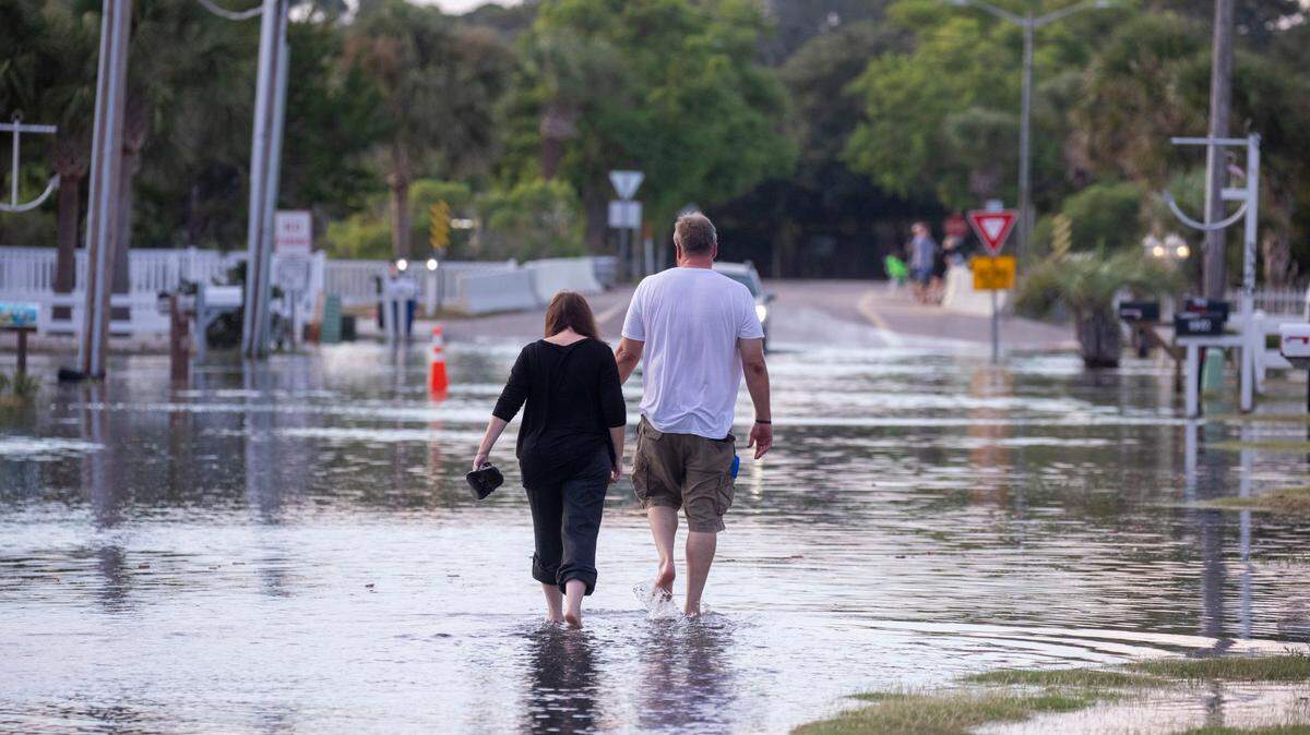
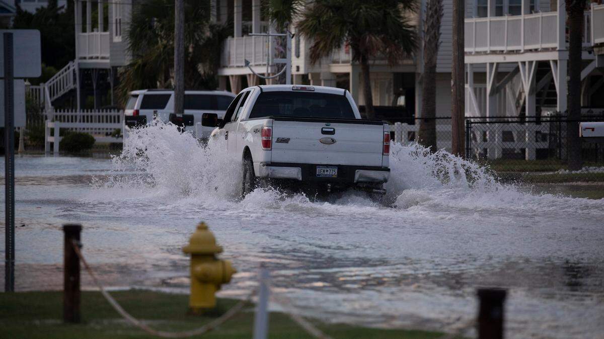
Historic rainfall from Tropical Storm Debby could lead to dangerous flooding. The rain will likely bring dangerous flooding, including flash floods, urban floods and potential storm surges.
Expand All
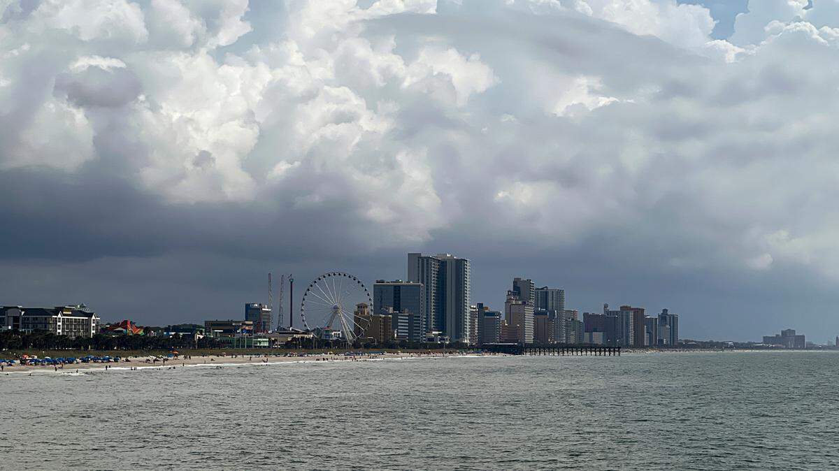
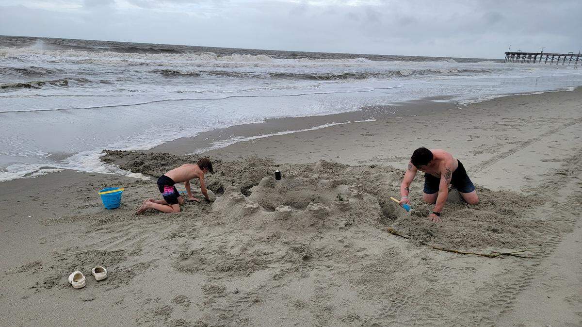
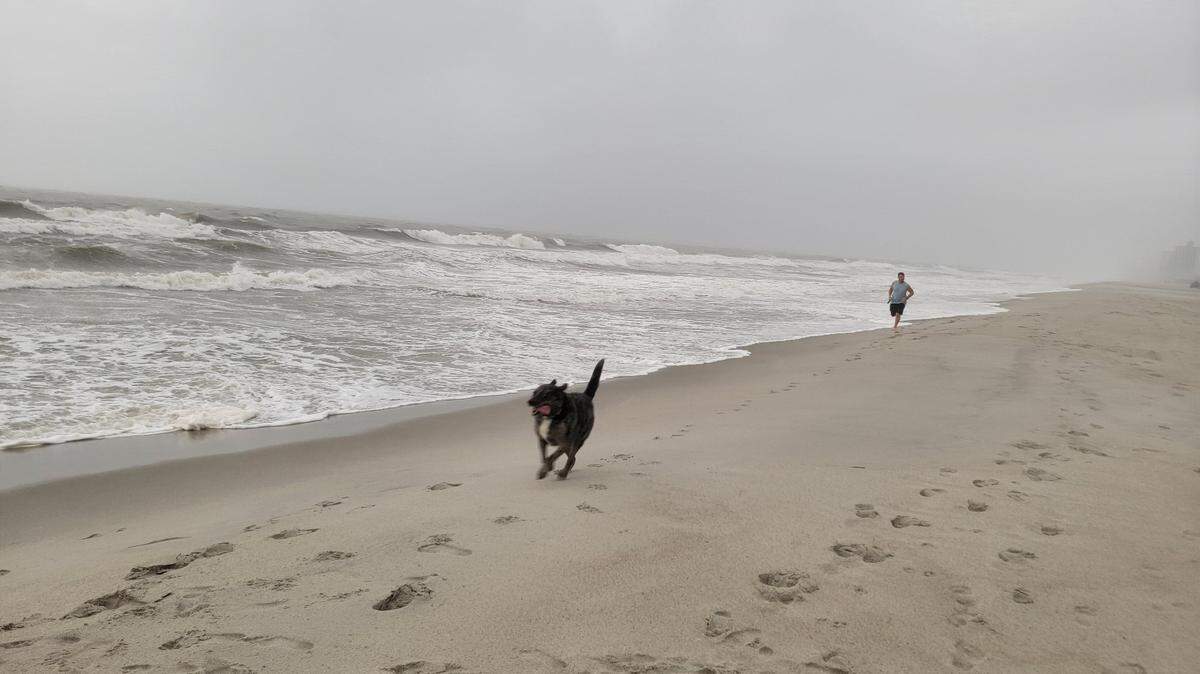
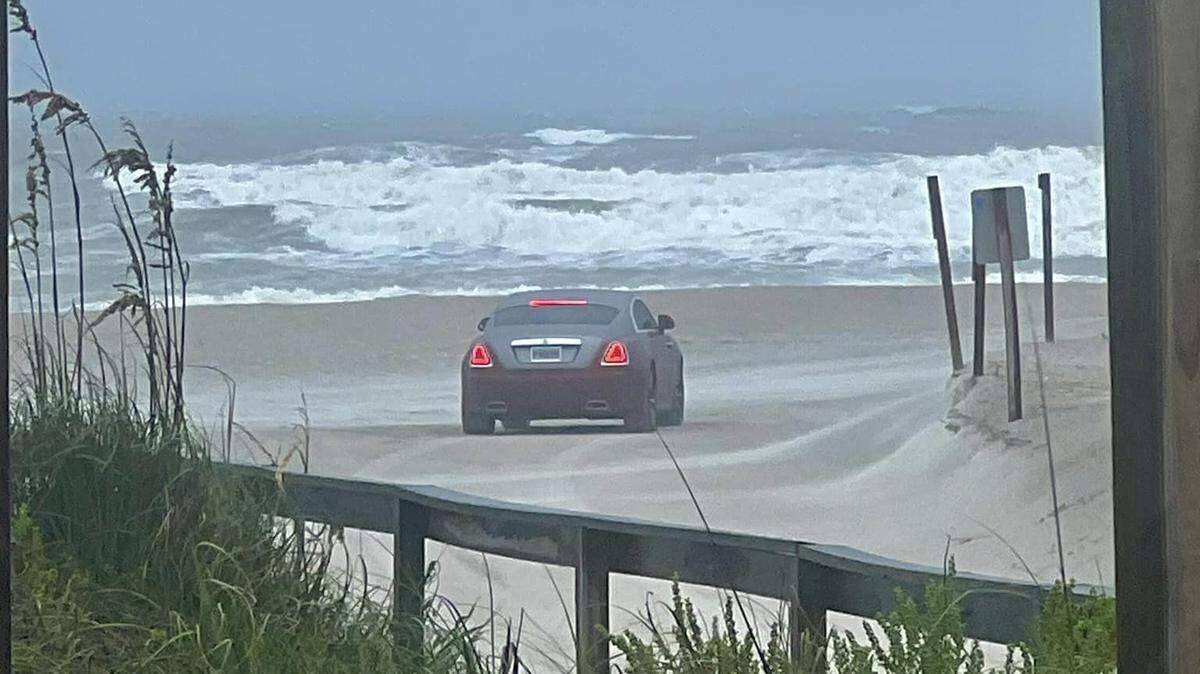
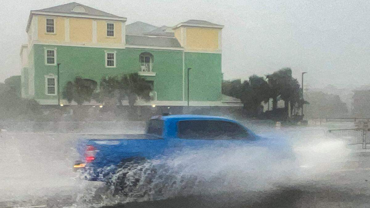
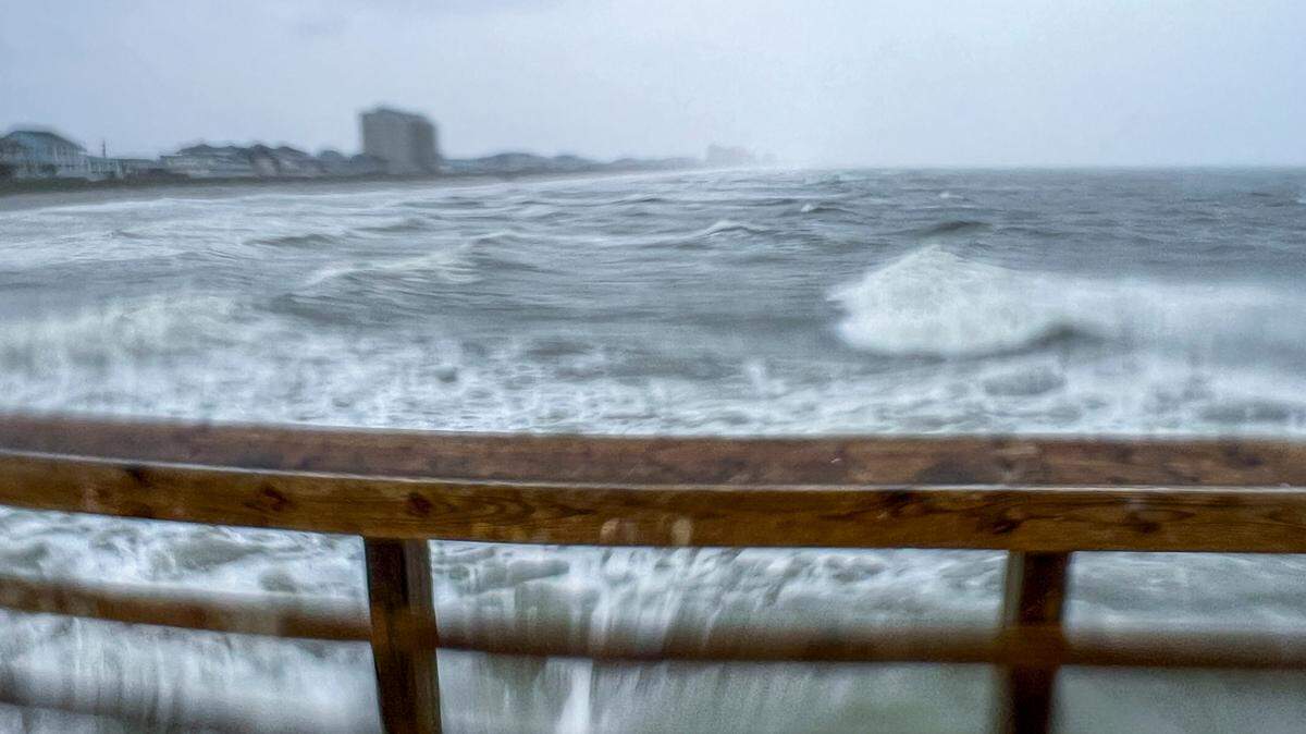
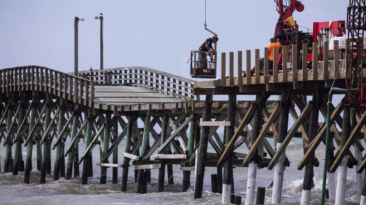
Tropical Storm Debby hit the Myrtle Beach area Tuesday with heavy rainfall, strong winds and aggressive surf. Despite the storm’s arrival, so far no evacuations in Horry County have been ordered or planned.
On Tuesday, the Myrtle Beach Police Department shared a post on Facebook urging motorists to use caution on roadways and never drive around barricades. While roads may be closed or blocked off as Debby continues to develop, as of Tuesday night Horry County did not announce any road closures due to the tropical storm.
Traffic remained normal around Myrtle Beach Tuesday as Tropical Storm Debby showered the area but if evacuations are announced or flooding closes roads, that could change. To monitor roads in and around the city, the South Carolina Department of Transportation (SCDOT) has a 511 website with live traffic cameras showing major roads on state evacuation routes in real time online.
In the Myrtle Beach area that includes:
A camera on Veterans Highway south of S.C. Highway 90
Two cameras on S.C. Highway 544 at Dick Pond Road and Windsor Bay Road
20 cameras along U.S. 501 from Main Street in Aynor to the Intracoastal Waterway
23 cameras along U.S. 17 from the bypass median at S.C. Highway 544 to Bellamy Avenue
The SCDOT website also features an interactive evacuation map and driving alerts for things like weather, incidents, congestion and construction.
The latest updates on road closures by Horry County can be accessed on the county website and the SCDOT 511 map can be found here.
This story was originally published August 7, 2024 at 5:30 AM.
.jpeg)
.jpeg)

.jpeg)
.jpeg)
.jpg)


.JPG)