Tropical Storm Debby could cause river flooding in the Myrtle Beach area. Here’s where

READ MORE
Tropical Storm Debby
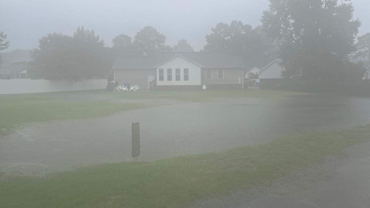
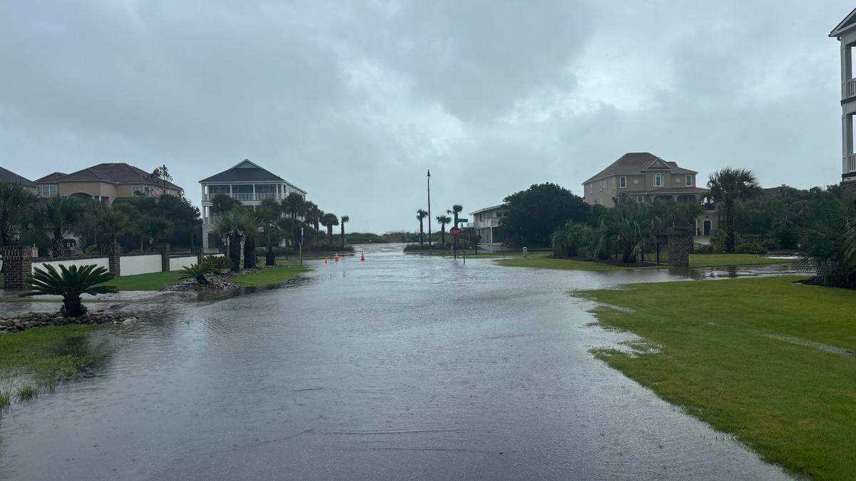
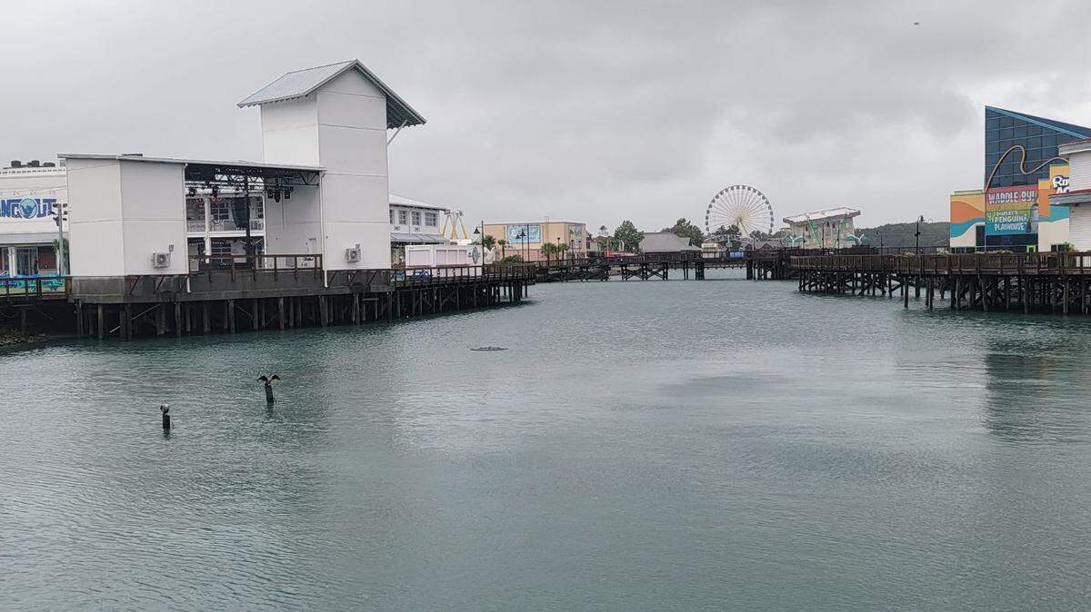
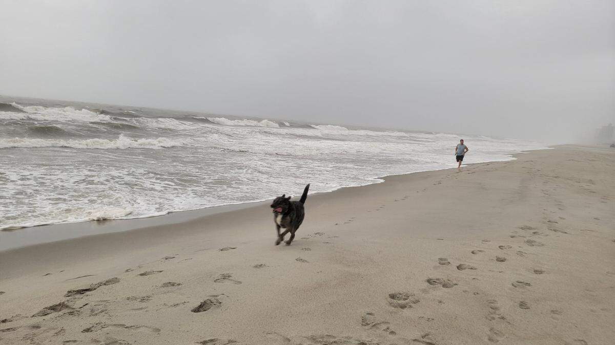
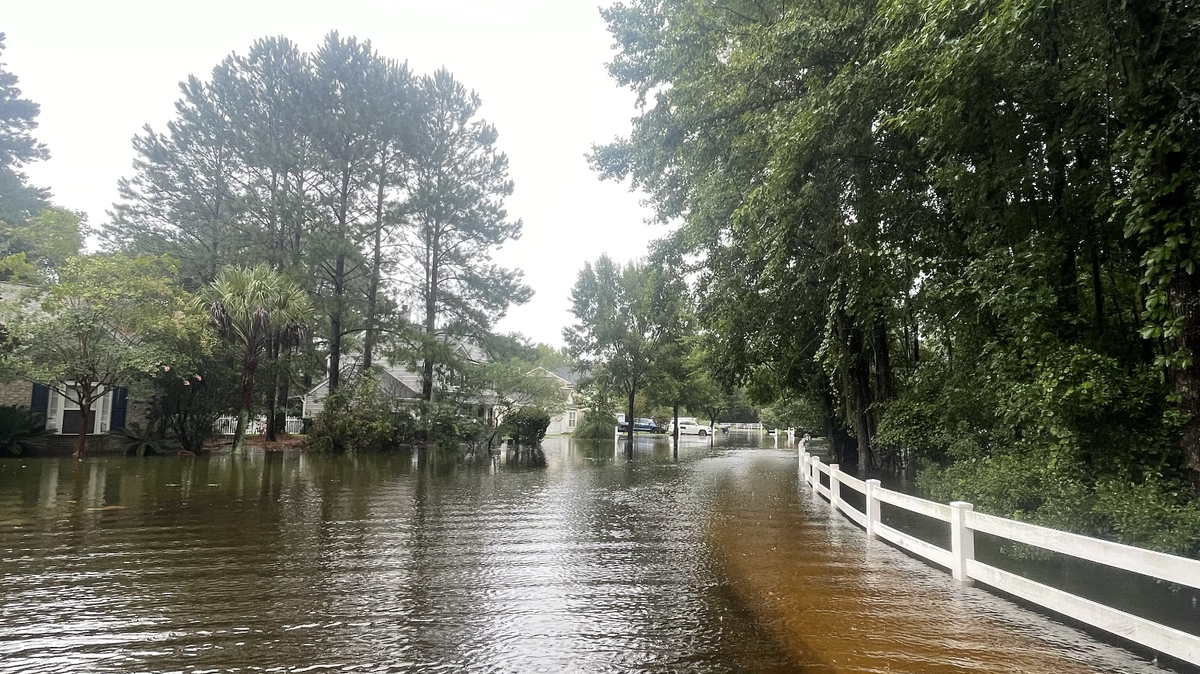
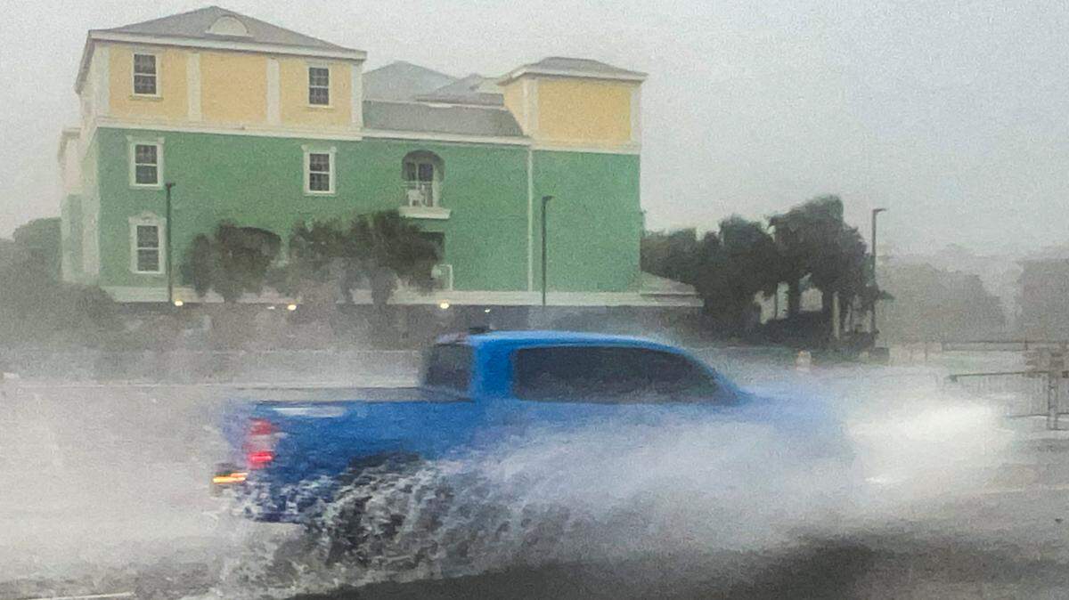
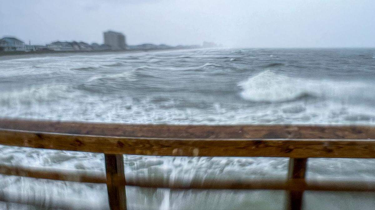
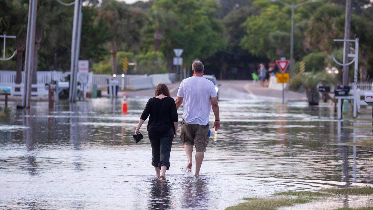
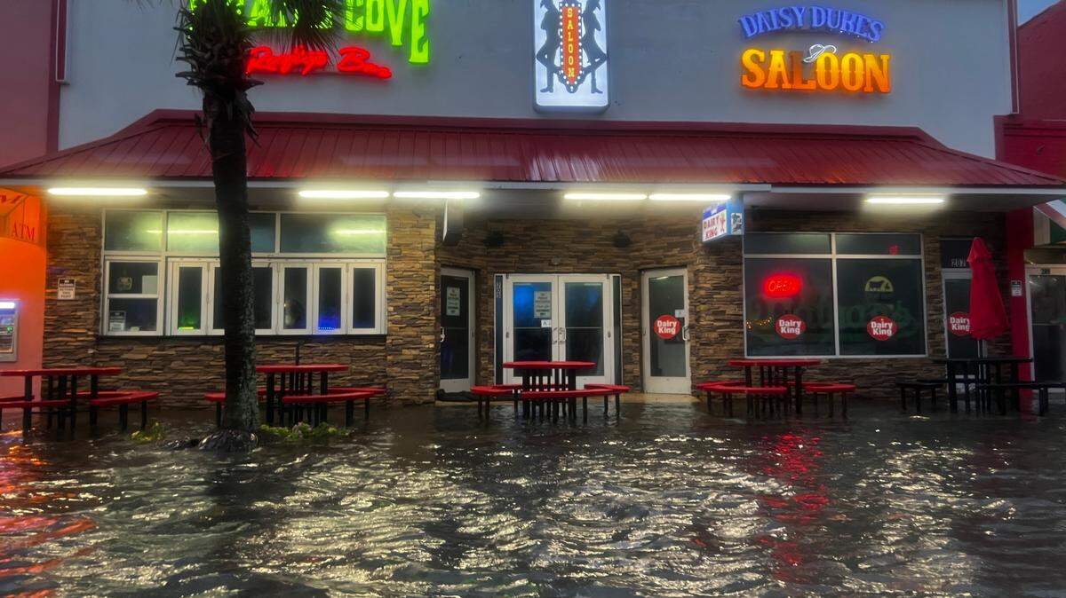
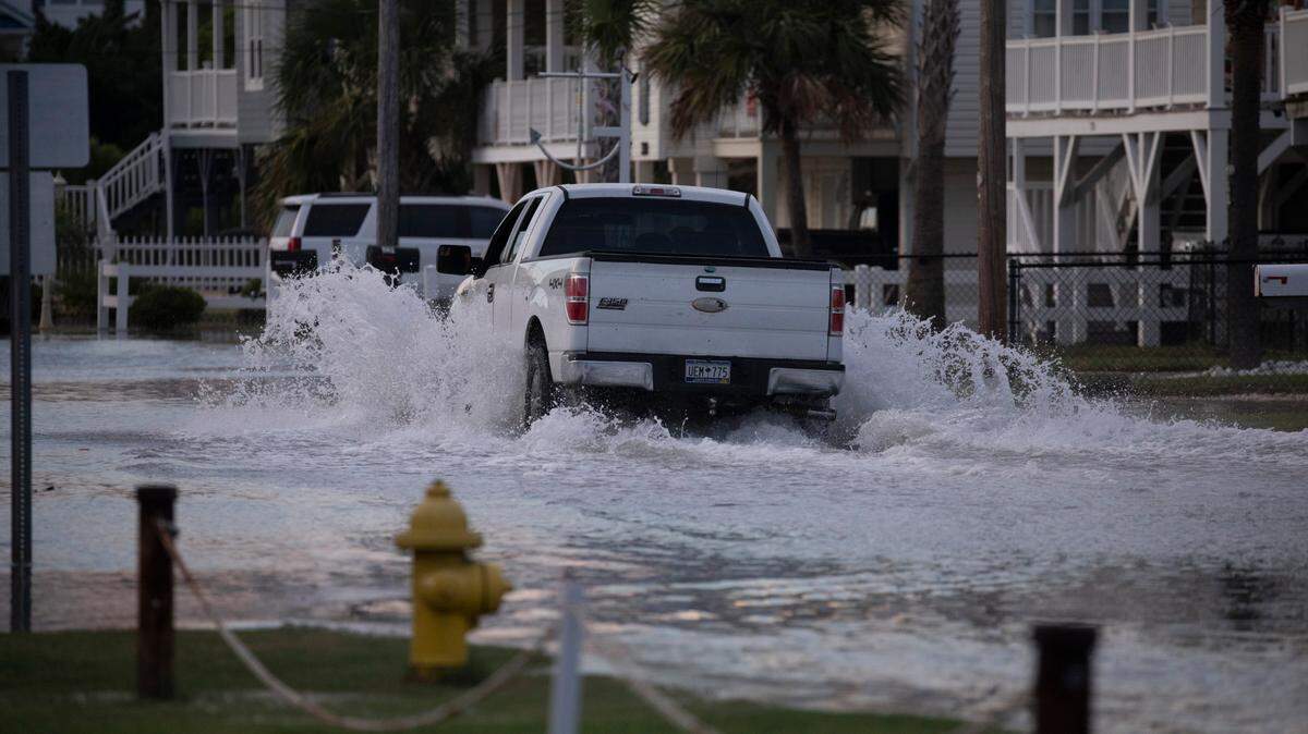
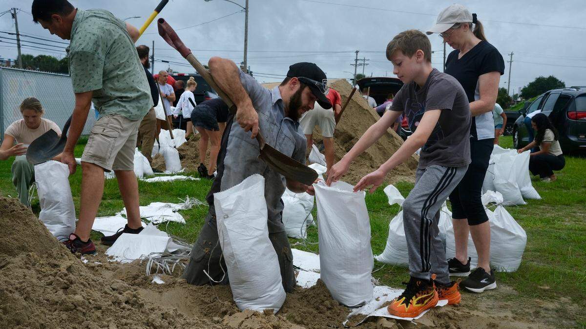
Historic rainfall from Tropical Storm Debby could lead to dangerous flooding. The rain will likely bring dangerous flooding, including flash floods, urban floods and potential storm surges.
Expand All
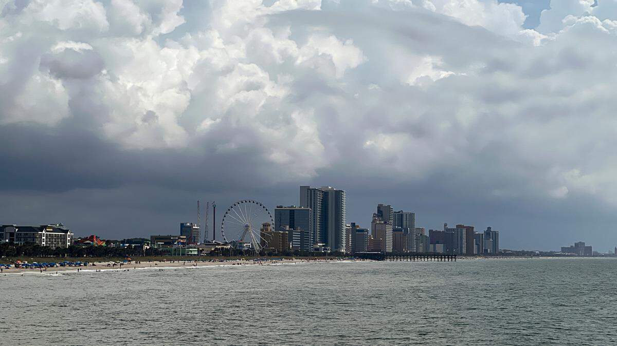
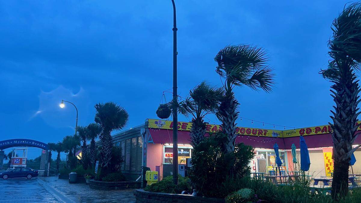
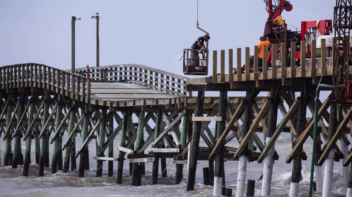
Tropical Storm Debby will reach the Myrtle Beach area sometime on Tuesday, Aug. 6, 2024, and the National Weather Service is warning that the slow-moving storm could cause life-threatening flash flooding.
The NWS detailed its flooding forecast in its Monday, Aug. 5, 2024, Hurricane Debby storm briefing. The agency forecast that the storm, anticipated to reach the South Carolina coast Tuesday and slowly move through the area until Thursday, Aug. 8, 2024, would produce significant rainfall.
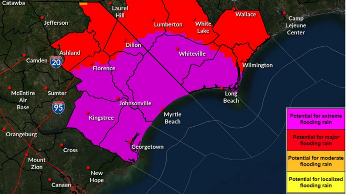
The NWS also projected “Life Threatening rainfall expected,” labeling the threat level at ‘Extreme Impact’ from Tuesday to Thursday. The NWS labels threat levels in five different categories of severity, with Little to No Impact being the least dangerous and Extreme Impact being the most dangerous.
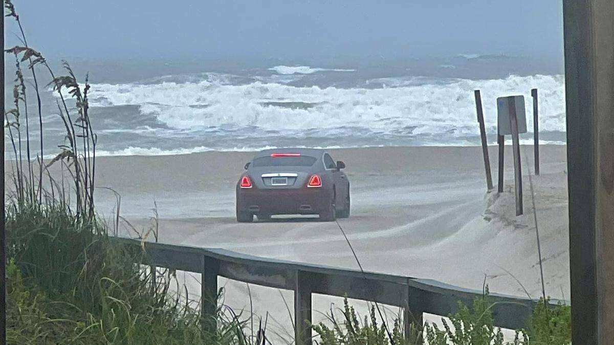
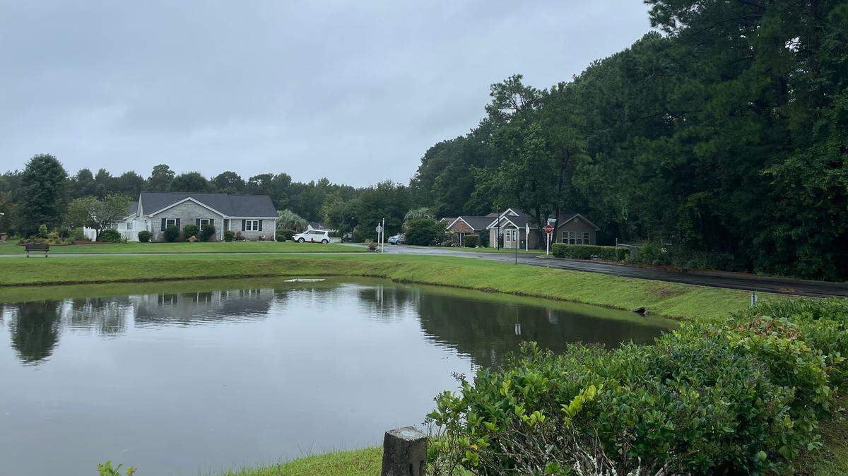
The NWS briefing also anticipated 16 to 20 inches of rainfall in Horry and Georgetown County, putting the Little Pee Dee River and Waccamaw River at major risk of flooding. The reports also forecast a potential storm surge between one and two feet above ground level; however, the NWS report said considerable uncertainty exists.

The National Weather Service tracks the water levels for the Little Pee Dee River near Galivants Ferry and the Waccamaw River near Conway and Bucksport. The NWS grades water levels and the risk of flooding into four categories in ascending order of severity: action, minor flooding, moderate flooding, and major flooding.
Steven Pfaff is the meteorologist-in-charge at the NWS’ Wilmington, NC office. He said the storm’s slow-moving nature raised the warning of severe flash flooding. He also added that moderate to major river flooding could develop later this week and next.
“When you get that amount of rainfall in a short, relatively short period of time, then you know, everything becomes runoff ... Where you have flowing water, you have additional problems,” he said. “We’re concerned for the Waccamaw (River), we’re concerned for the (Little Pee Dee) River, any of these areas. We have a little bit of a cushion in the rivers, but this amount of rainfall that’s going to change that quickly.”
Currently, the Waccamaw River isn’t projected to reach the action stage of 10 feet. However, the NWS gauge does project the Little Pee Dee River to reach the minor flood stage of nine feet by Thursday, Aug. 8, 2024.
However, Pfaff said those forecasts could change as the models used to make projections rely on how much rainfall occurs and fills basins, which require waiting for additional information.
“We can have more rainfall than we’re currently projecting, or it could be a little farther west or east. So there’s a lot of things that we’re looking at that actually go into the river forecast model,” Pfaff said. “I just don’t like the trends that we’re seeing with the amount of rainfall, where it’s going to fall right now.”
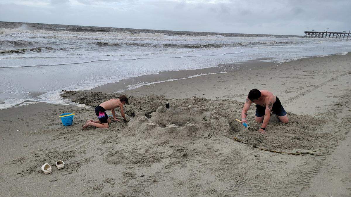
Pfaff said that areas along the Waccamaw River could experience flooding. If the storm surge is particularly high, areas along the Grand Strand that drain into the swashes, Cherry Grove and North Myrtle Beach, could be impacted.
Pfaff also warned motorists to be safe on the roads, as the increase in rainfall could cause flash flooding and damage the structural integrity of roads. He added that vehicular-related flood drownings are a serious concern, urging motorists to avoid driving through flooded roads and find safer routes to their destinations.
For residents worried about flooding in their back yard, Horry County keeps a map on its website of all flood zones in the area.
This story was originally published August 5, 2024 at 11:50 AM.

.jpeg)
.jpeg)

.jpeg)
.jpeg)
.jpg)

.JPG)