Will Hurricane Helene cause flooding in the Myrtle Beach area? What the forecast says

READ MORE
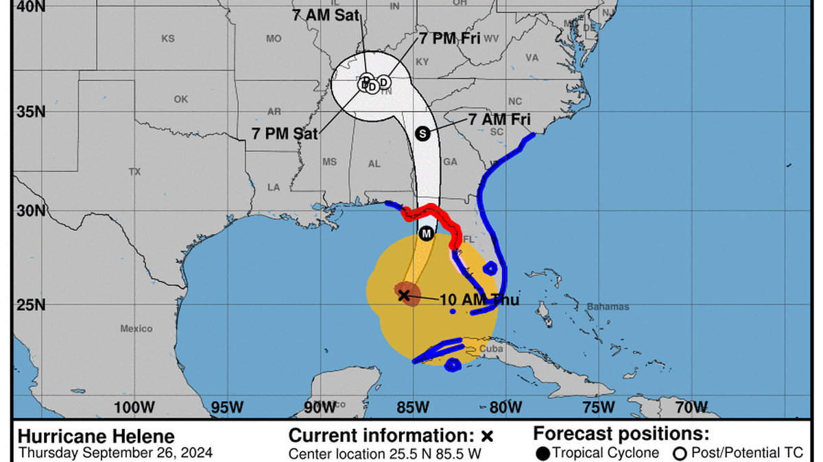
Hurricane Helene
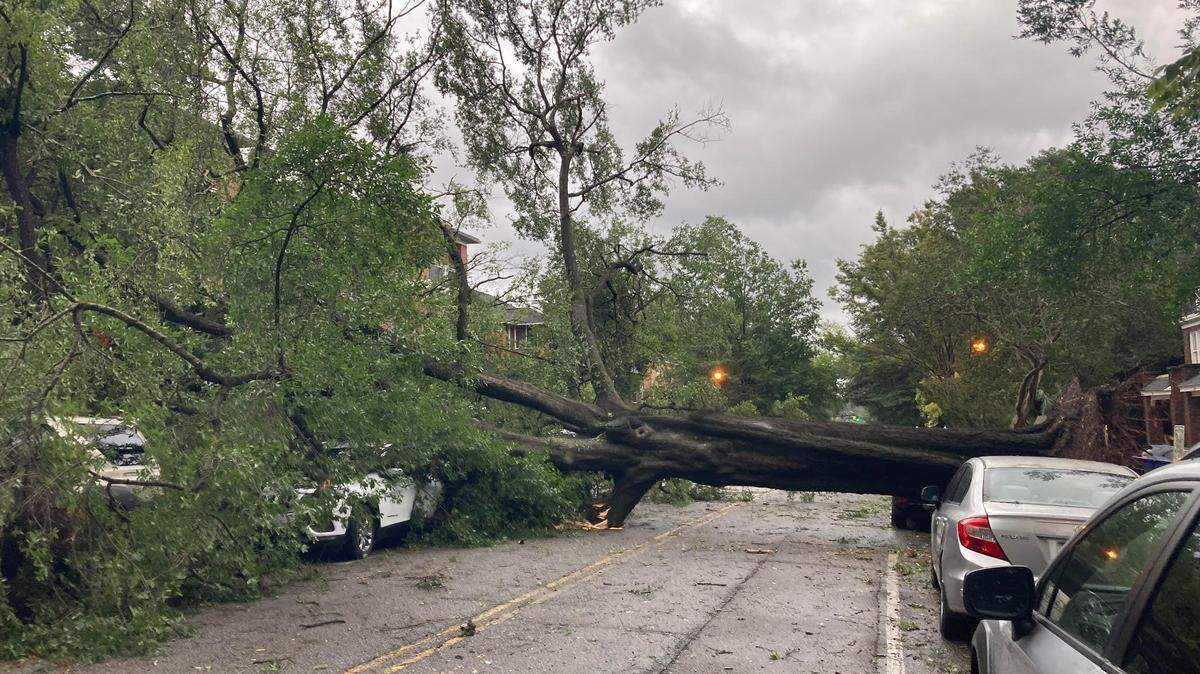
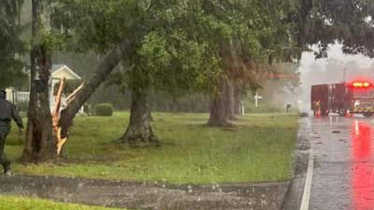
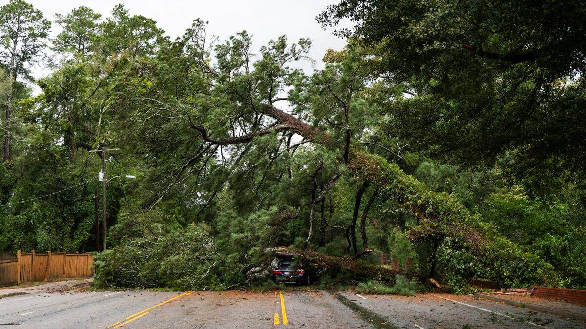
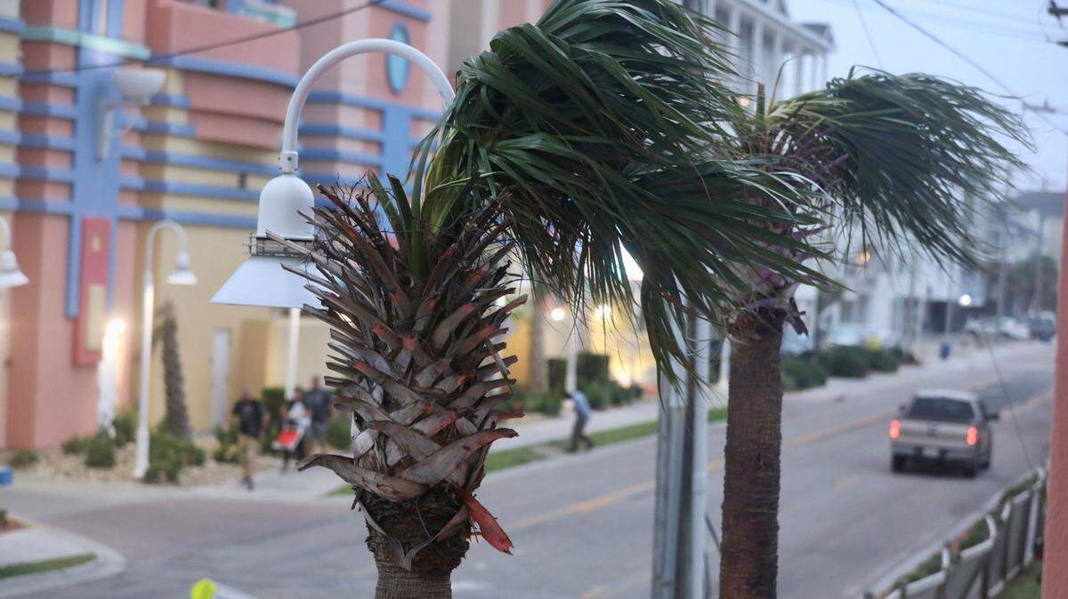
The Myrtle Beach area is expected to feel the effects of Hurricane Helene. The National Weather Service said that North Myrtle Beach, Myrtle Beach and Surfside Beach are under a tropical storm warning. The storm is expected to bring gusty winds, heavy rain, flooding and isolated tornadoes.
Expand All
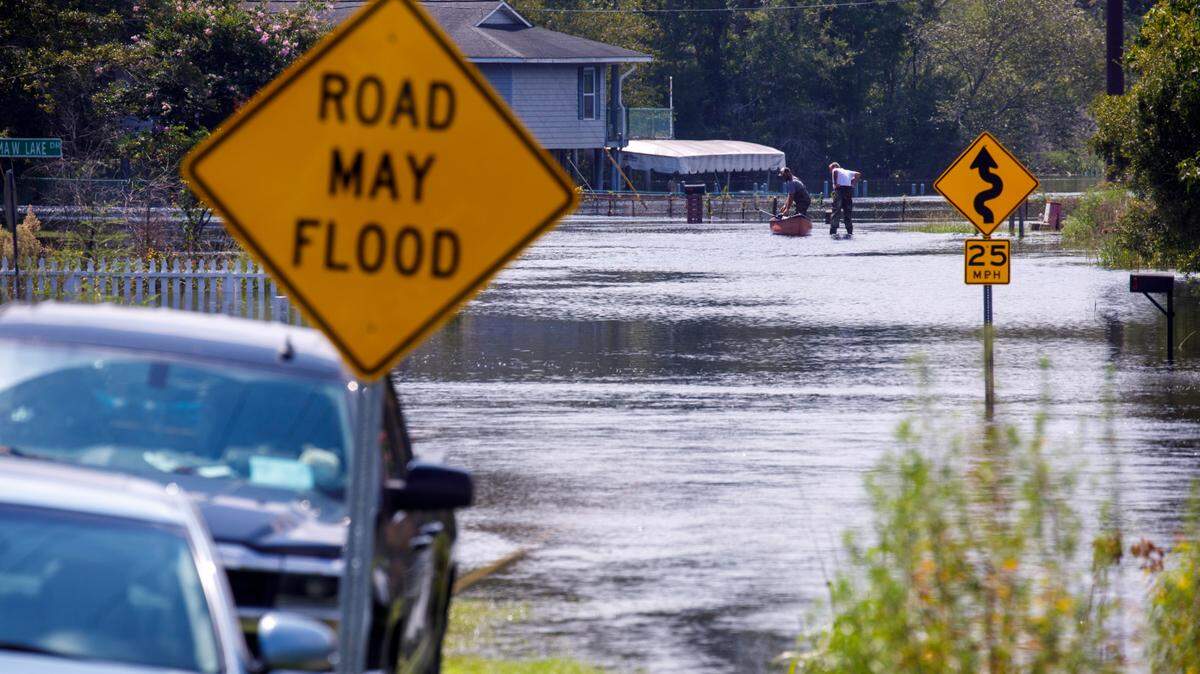
While the Myrtle Beach area isn’t in Hurricane Helene’s direct path, the storm could still impact the Grand Strand.
The National Weather Service’s Wednesday, Sept. 25, 2024, Hurricane Helene forecast that Myrtle Beach was at Minor to Moderate Impact of coastal flooding and flooding rain from Thursday night, Sept. 26, 2024, through Friday, Sept. 27, 2024.
The National Weather Service lists impact levels on a scale of 0-4. Zero corresponds with ‘Little to No Impact,’ One with ‘Minor Impact,’ Two with ‘Moderate Impact,’ Three with ‘High Impact’ and Four with ‘Extreme Impact.’

The report also listed that a storm surge of 1-3 feet might occur due to the storm Thursday with high tide and Friday, while areas with poor drainage could experience flash flooding.
The National Oceanic and Atmospheric Administration tracks flood levels of the Waccamaw River and Little Pee Dee River in Horry County. It predicts flood stages on a scale of least serious, graded as ‘Action,’ to most severe in ‘Major Flooding.’
NOAA’s forecast for the Little Pee Dee predicts the river will reach a high of 8.3 feet in the Action stage. NOAA also forecast that the Waccamaw River will rise to just below the ‘Minor Flooding’ stage Sunday, Sept. 29, 2024, with a high of 11 feet.
This story was originally published September 26, 2024 at 7:33 AM.


.jpeg)
.jpeg)
.JPG)

.JPG)