When will Hurricane Helene hit the Myrtle Beach, SC area? Here’s a forecast timeline

READ MORE
Hurricane Helene
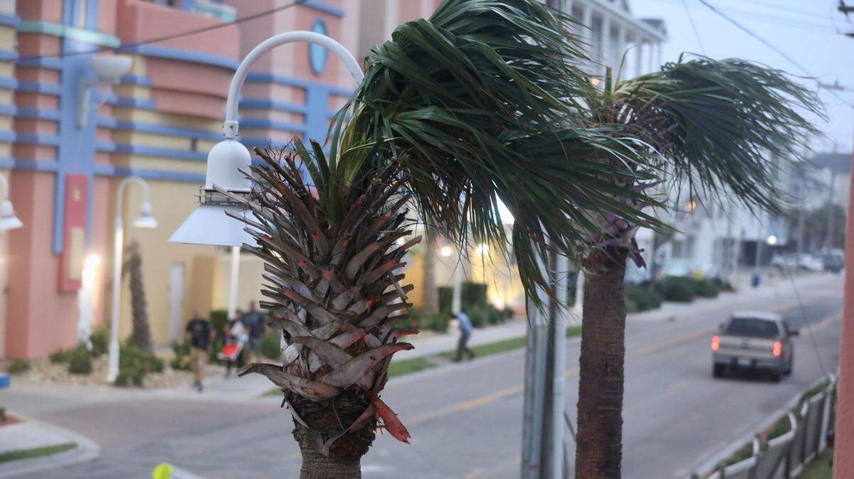
The Myrtle Beach area is expected to feel the effects of Hurricane Helene. The National Weather Service said that North Myrtle Beach, Myrtle Beach and Surfside Beach are under a tropical storm warning. The storm is expected to bring gusty winds, heavy rain, flooding and isolated tornadoes.
Expand All
Horry County is under a tropical storm warning as the area braces for impacts from Hurricane Helene.
Although the storm’s path is projected to remain east of the Grand Strand as it moves north through Georgia, Helene’s severity and size mean the area will still feel its effects.
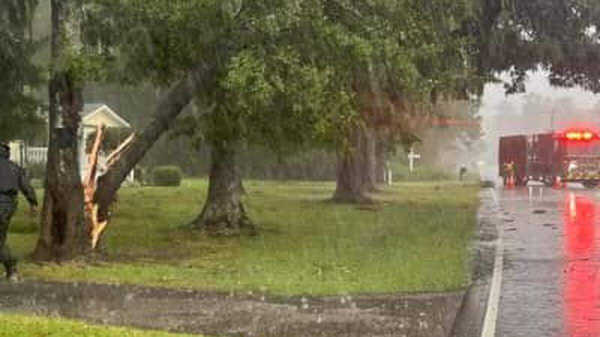
The Myrtle Beach area can expect increasing rainfall throughout the day, but inclement weather will intensify Thursday night.
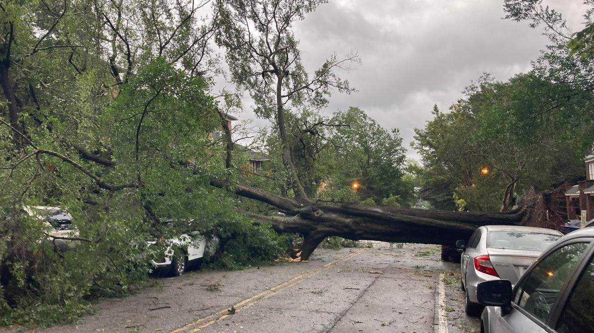
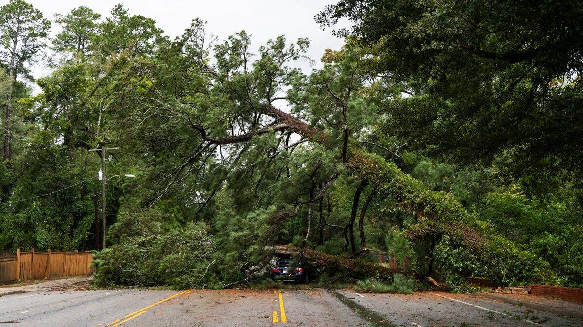
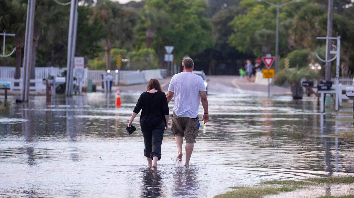
Tonight into Friday morning, the area could see tropical storm force gusts, minor coastal flooding, localized flooding, especially in areas with poor drainage, heavy rainfall and isolated tornadoes, according to the National Weather Service’s Wilmington office.
The heaviest rainfall and highest risk of tornadoes are both expected between 3 and 9 am Friday. That window can be “problematic,” according to NWS Wilmington meteorologist-in-charge Steve Pfaff, because people tend to be less alert.
“So the tornadoes, we think the overall risk will be higher because of the timing,” Pfaff said. “When you have an event like this in the day, everybody’s kind of paying attention, but when you have one coming through in the morning, people are getting ready for work, or they’re just waking up.”
Pfaff recommends setting up multiple resources to receive emergency alerts, like phone notifications from the NWS, the Red Cross app or the radio.
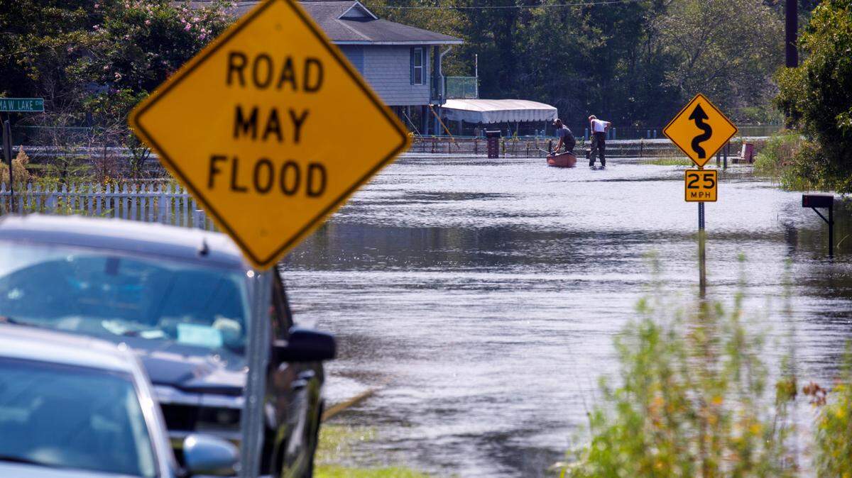
During that same 3 to 9 am window, the heavy rainfall could cause localized flooding as well. The Waccamaw River and Pee Dee River could both reach minor floods as Helene moves through the area.
“We think at least the Waccamaw in Conway has at least a high chance of reaching minor flood due to ongoing flooding upstream and the additional rainfall that’s there,” Pfaff said.
Coastal flooding is also most likely early Friday morning because of the high tide. Pfaff predicts the most intense coastal flooding in the Grand Strand will occur from around 2 to 6 am.
Around 9 am tomorrow, conditions seem likely to clear up in the Grand Strand. The area could get some isolated storms and showers, but the NWS doesn’t anticipate any more widespread issues from Helene.
“That main band, I think, will be lifting towards Wilmington around that time, and then farther north as the storm lifts away well to our west and kind of brings an end to things,” Pfaff said. “And it could be breezy through most of the day, but we think those peak gusts will be when that main band comes through in the early morning time frame.”
This story was originally published September 26, 2024 at 12:39 PM.


.jpeg)
.jpeg)
.JPG)

.JPG)